28th May to 2nd June, 2018
Kapelle, Nisse
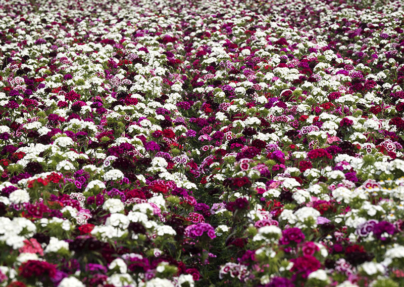
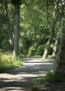
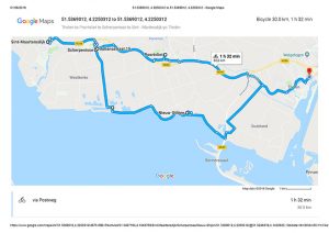
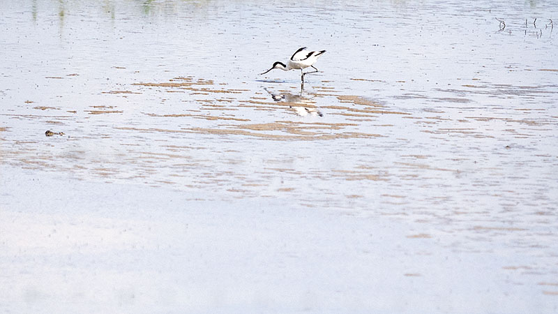
Our ride today, took us along the banks of the Zuid Beveland Canal, before the bike way turned to lead us through beautiful farming country, the roadsides of which were bordered by masses of tiny flowers in bloom.
Kapelle
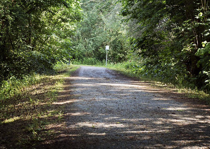
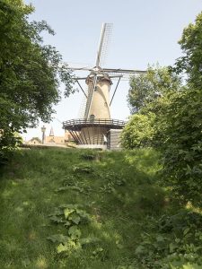
Upon passing through a cooling woods,
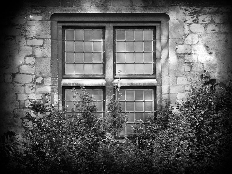
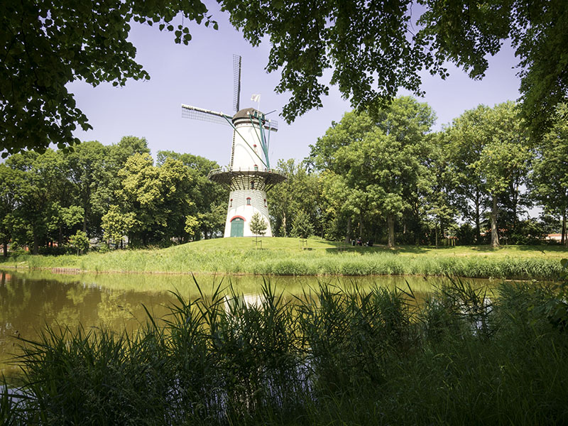
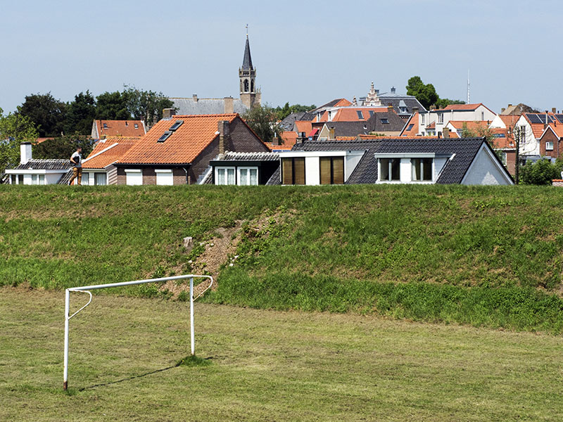
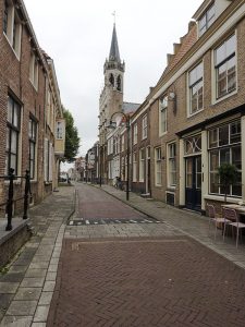
the township of Kapelle came into sight.
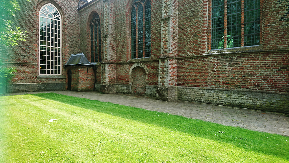
Human habitation of the town goes back to the times of the Romans, however, the village as it is today only dates back to the 900s, when construction first commenced upon the banks of a long -gone waterway. Today, the town is famed for the military cemetery that houses the French who fell during WWII.
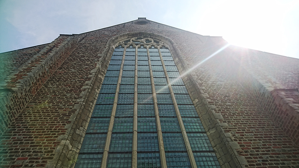
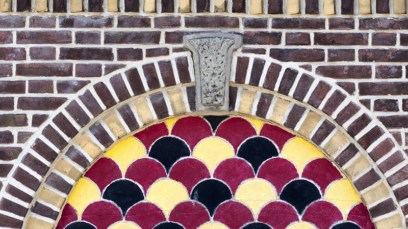
Sections of the church were constructed in the early 1300s.
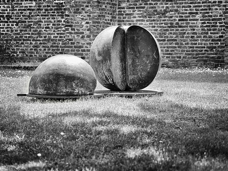
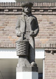
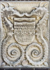
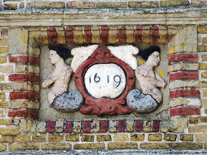
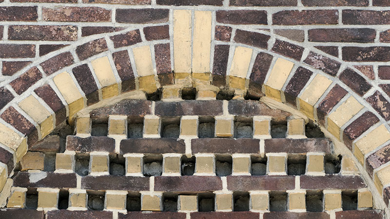
What drew the eye though, were the figures outside the council chambers.
Nisse
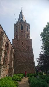
The highlight of the day was the tiny village of Nisse that has been dated to the early 1100s. With the church constructed upon the highest ground, the village itself grew to encircle it.
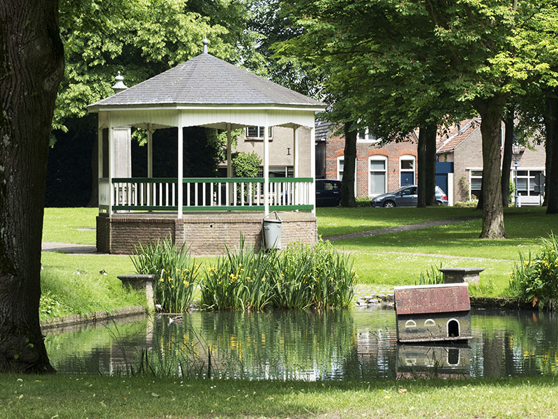
Leading into the church, was a beautiful parkland with rotunda, and a pond that was once used by the cattle for drinking water.
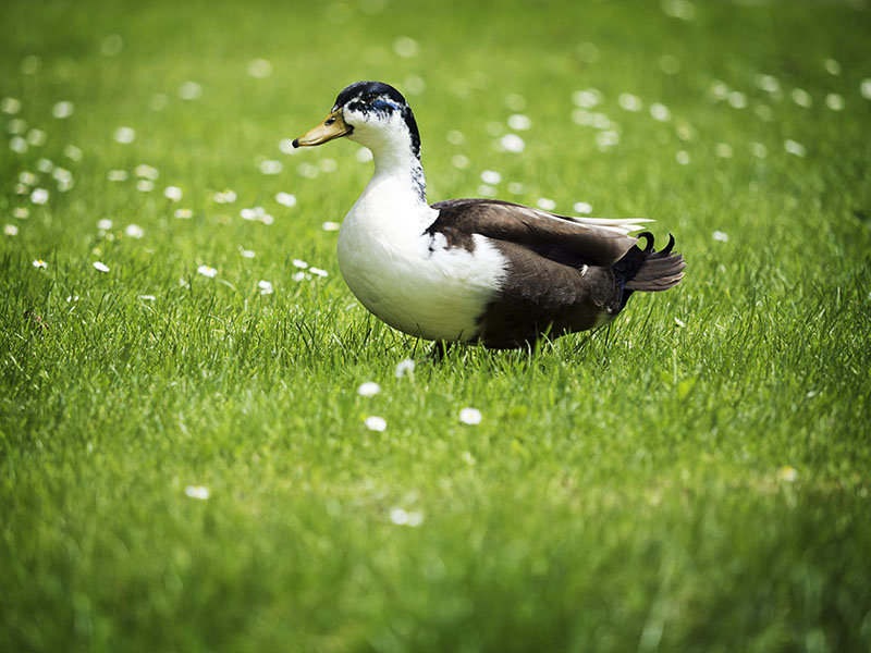
The ducks loved it, of course.
Journeying onward, a delicious late afternoon lunch was had at ‘de Smederij’ in Goes. The service here was impeccable, with the chef going to the effort of providing chips that were both seafood and gluten free. In addition, my gluten free angus burger sandwich and Bob’s hamburger of the same were mouth – wateringly scrumptious.
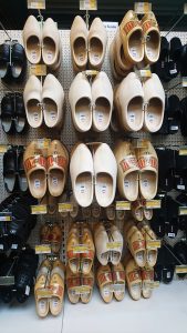
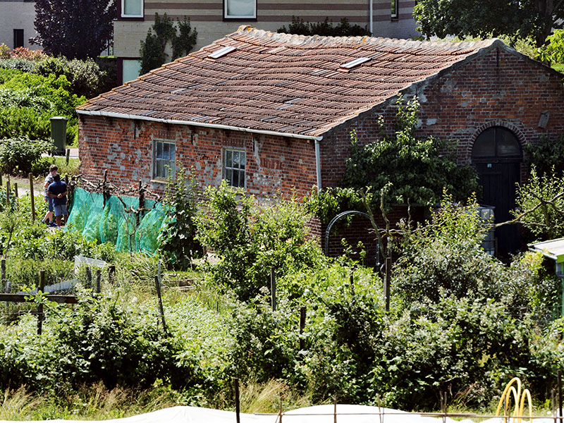
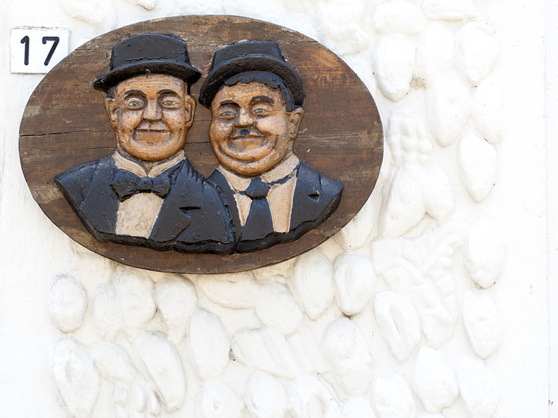
Bob can’t help himself, he has to visit the hardware stores. This sight was worth it for me.
29th May 2018
Yerseke, Krabbendijke, Kruiningen, Hansweert
Covering close to 50km, Bob and I were exhausted by day’s end, but our tiredness was well worth the effort.
The highlight was our visit to the township of Yerseke that, like Wemeldinge, grew from a tiny settlement placed on the peak of a sand dune, alongside of which ran a tiny creek. From this tiny beginning, terps were created in an attempt to avoid the devastating floods.
As close as we can figure out, using phonetics, the pronunciation is Ee – air – sa – ka.
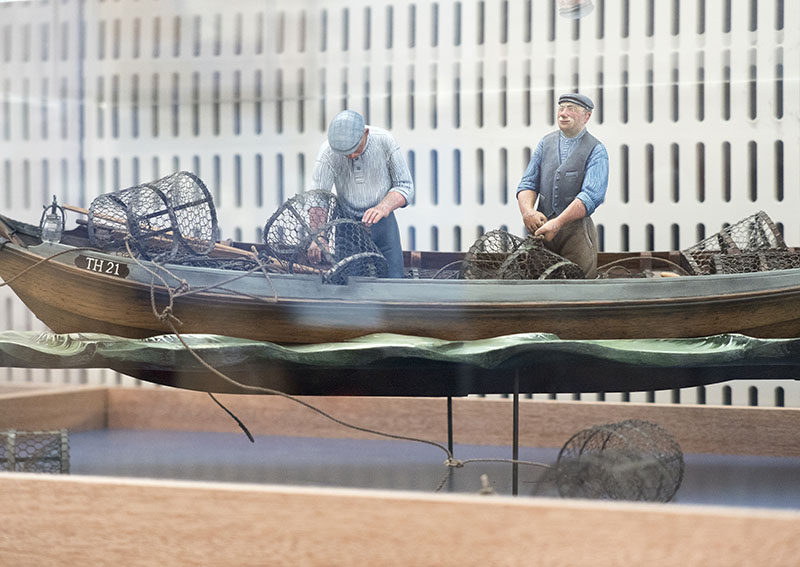
Upon entering the VVV we were greeted by the friendliest of locals who was most informative. At her recommendation, the two of us headed into the town’s tiny museum (Oosterschelde Museum) that was connected to the tourist office.
How glad we were to have paid the small fee of 4 euro a head. A short film – provided in English -informed us about the development of the township’s shellfish industry,
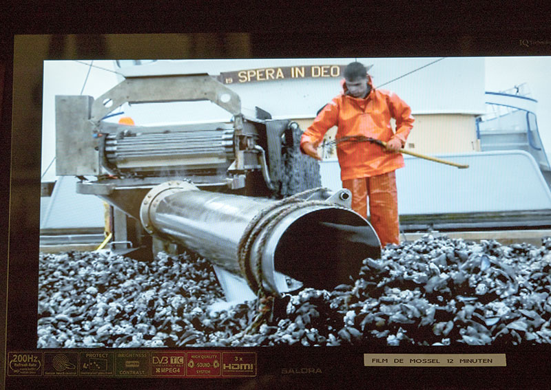
and the displays were also worth a look.
During the 1800s, the townspeople had the equivalent of Australia’s Ballarat gold rush, only here, it was in the cultivation of mussels and oysters. By the early 1860s, mussel stocks had dwindled to practically zero.
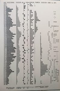
By 1865 saw the Dutch government commence the regulation of the mussel – and roughly a decade later, the oyster – beds by subdividing the region into lots that were then put up for tenure. Bob and I were quite surprised at how early on the government stepped in to control the mussel/oyster farming.
For those interested in finding out a little more, the pdf on the mussel and oyster trade in Yerseke below, is well worth a read.
Heading out of the town, Bob and I passed the moors of the region. Today, it is a nature reserve, but prior to the sea invading it during time of flood and storms that left salt laying within the deep ruts scoured out by the raging waters, this area was once a healthy bog land in which was found. Years later, salt mining even took place.
Large plots of colour were interspersed with the greens of the fields.
On we two rode to the town of Krabbendijke. If I have understood the translation correctly, until the floods of the early 1530’s destroyed it, the township in this region was Nieuwlande, which lay north of the current Krabendijke, just out from the current dike.
For some reason, Bob developed the desire to see Kruiningen – probably something to do with name similarity with Groningen.
This section of land was once a small island that was diked by monks and eventually became a part of the current island.
A fast pedal across the lock at the southern exit of the Zuidbeveland canal, then into Hansweert for a thirst quenching drink, passing through Bieselinge there was another photo moment
before we were truly homeward bound: just in time, too, as the storm that was building during the afternoon commenced announcing its approach soon after.
Laughs for the day
Hearing an epithet from behind, on my looking back it was to view Bob saving himself from going head over heels into the canal below.
Riding along, Bob realises his shirt is on inside out.
Bob heading over a bump that caused bike battery to automatically turn off and his battery to die.
Interesting facts:
Yerseke was known as the ‘Klondike of Zeeland’
At low tide, the foundations of Nieuwlande become visible
https://www.vvvzeeland.nl/en/islands/zuid-beveland/towns-and-cities/yerseke/
30th May, 2018
Wemeldinge to Tholen
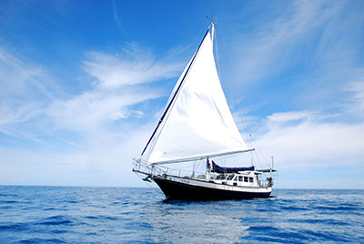
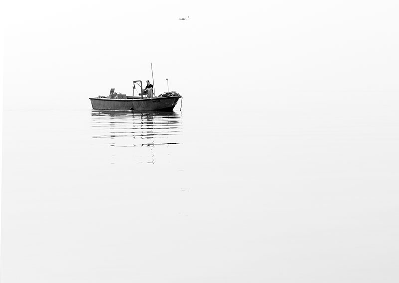
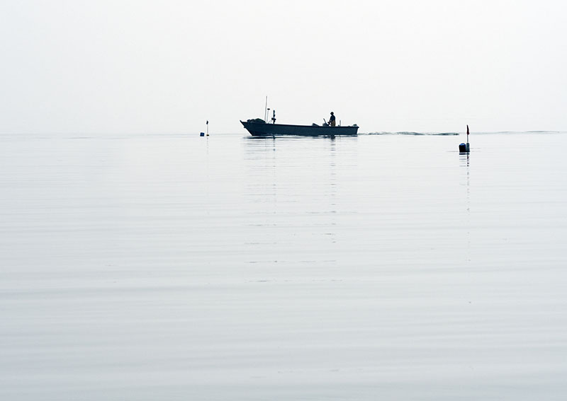
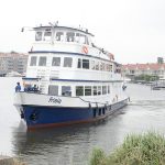
A foggy morning welcomed us as Bob and I cast the lines and set off into the Oosterschelde on our way to the town of Tholen which of is situated on the south eastern tip of the island of the same name.
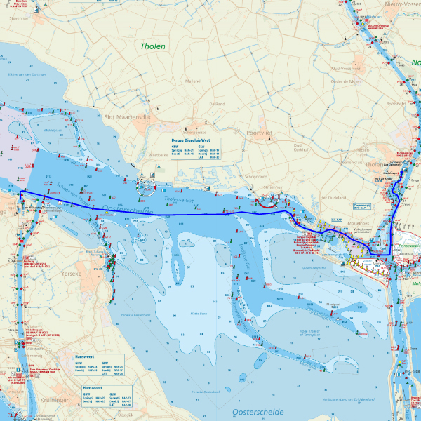
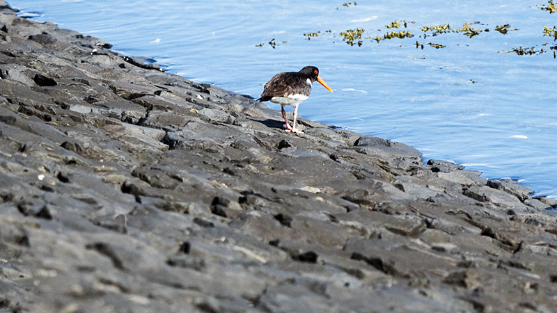
Once past the Zuidbeveland Canal, all barge traffic vanished and all we passed was the occasional fisherman pulling up his pots. Flat waters in which long tendrils of seaweed floated on the slow -moving current vanished into an almost non – existent horizon.
For the ‘Crows’ fans among you:
Port Adelaide supporters having a rest here in Holland.
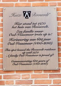
Tholen, what a delightful town that still maintains its aged beauty. Entering the harbour from the water, one espied not one, but two windmills. On the order of the village council, De Hoop was set on the town’s walls in 1736. Trees lining the canal prevented the wind from turning the large sails, so to overcome this obstacle, the height of the mill was increased by 5 metres. To this day, the mill continues to be operated and grinds corn.
During the 1200s, the township of Tholen – meaning ‘where tolls are charged’ – was created for the sole purpose of being the collection point of tolls from the passing river traffic.
Walking the circumference of the old town, it is possible to view what remains of the old star shape pattern that was the city walls.
The town was some distance below their top,
and there was even a community garden.
Still retaining their medieval layout, the streets are well worth ambling through.
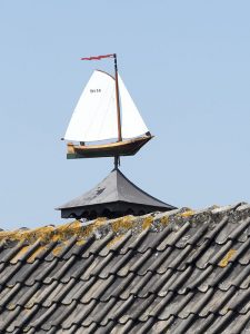
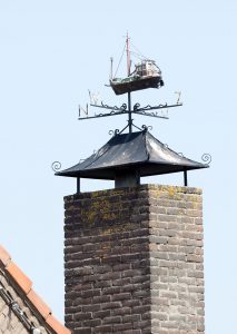
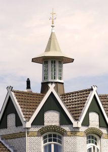
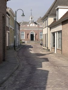
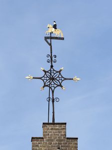
Just loved some of the wind vanes.
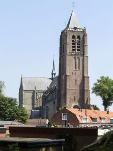
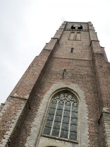
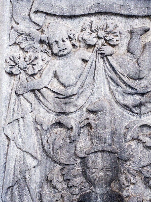
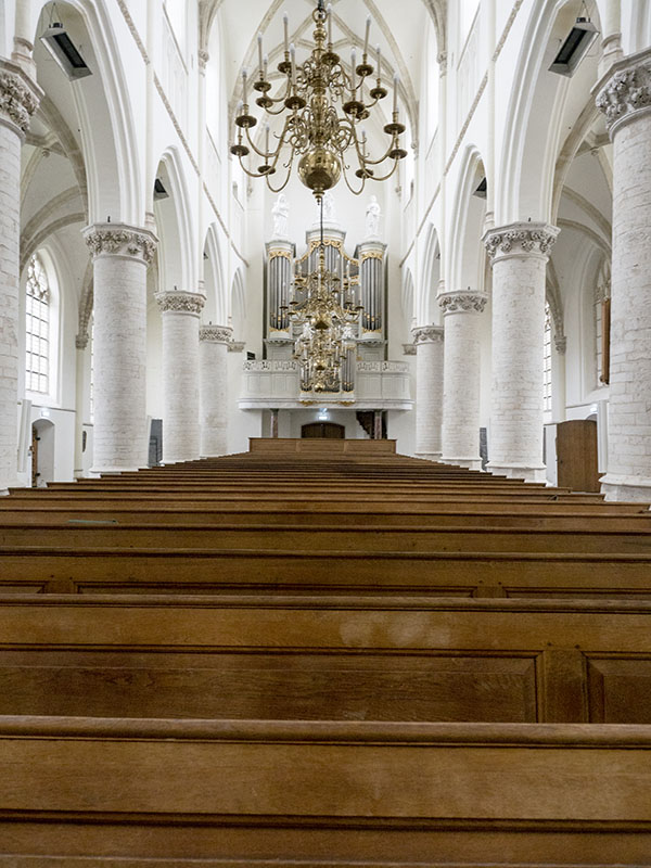
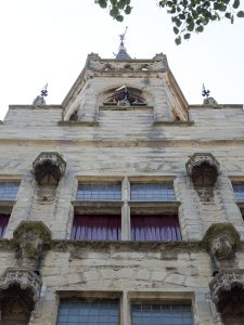
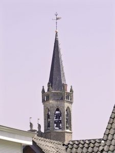
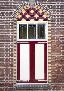
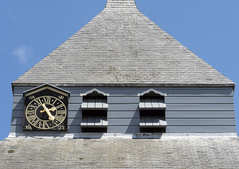
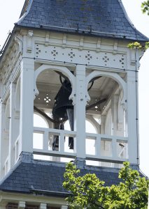
Dating back to the 1300s, looming over the town stands the 49 metre tour of the town’s main church. On circumnavigating, one notes the various styles of architecture that date the later addition of the actual church during the sixteen and seventeen hundreds.
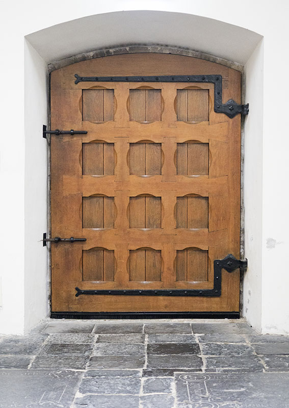
Beautiful inside,
the doors can’t have been recent additions.
After a large city fire during the mid 1400s, the town hall with its ornate frontage was constructed of stone.
The lower frontage enabled one to view its true age.
It is here that the oldest carillon clock in the Netherlands is found. Consisting of thirty five bells, the carillon continues to play every quarter hour.
It was also here, in the town square out front of the town hall, that criminals were tried and executions took place.
http://molendeverwachtingtholen.nl/eng/index.php
Interesting Facts:
- The last execution in Tholen took place in 1750
- The island of Tholen was created from the joining of several smaller islands.
- Until the Oyster Dam was built and prevented the flow of sea water from entering, oyster farming was one of the occupations of the fishermen.
- Beneath the mooring area where sea traffic waits for the Bergse Diepsluis to open, lay the remains of the long disappeared town of Reimerswaal.
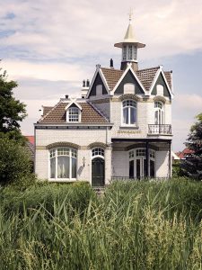
- Early writings mention the creation of a polder in a section called the ‘Luchtenburch’ during the early thirteenth century at the orders of William I. It is here a knight’s yard – or ‘home’ is said to have existed.
- This is one of the homes that now stand on the road of the same name. A coincidence? Probably not. That aside, the house was beautiful.
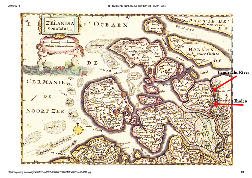
- Way back in time, the Eendracht river was a tributary of the Scheldt River and, until the construction of the dikes, separated the eastern side of Tholen from North Brabant. After the flooding of 1953 major works was turned it into a section of the Rhine – Scheldt Canal. The Endrachtdijk sign is still there as a reminder.
Map of Tholen 1500’s
Thursday 31st May, 2018
Poortvliet, Sherpenisse, Sint Martinsdijk
Towns are close on this small island so there was no issue with riding the bikes.
Today took Bob and I through farming country in which spinach, wheat and an abundance of what we believed to be potatoes, grew thrived.
Poortvliet
The 800 year old town of Poortvliet was picturesque. Once a coastal town residing on the island’s largest polder situated upon the shores of the Pluimpot channel, it became an inland village after the stretch of water was closed. The village is now known for its many furniture outlets. For us though, it was the architecture and the quietness of the streets that held us.
Its old corn mill had an interesting beginning when it went slightly askew during construction, and has remained so ever since. For anyone who is interested in purchasing a corn mill, it is up for sale.
Sherpenisse
The highlight of the day for us, though, was the township of Sherpenisse, which like Poortvliet is situated on one of the older polders.
Still retaining its old world feel with its aged architecture and medieval layout, it’s possible that the town’s name was taken from the long – disappeared island, Scarpenisse, the name word of which also meant ‘piece of land that juts into the sea’.
The tower and nave are all that survive of the church constructed during the 1400s.
Everyone is familiar with the story about the three French Muskateers, but what we guess most of us don’t know is that they actually had a guild and were to be found in other parts of Europe, where they provided protection for the towns’ rulers. To our surprise, in the old town hall of Stavernisse, the Guild of Muskateers still hold their yearly meetings.
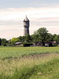
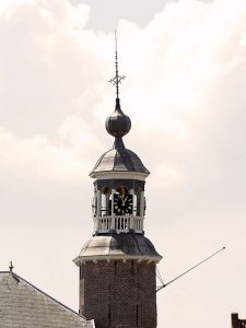
Viewed from miles out, standing at 52 metres, the water tower was constructed in 1922 and holds 350,000 litres. Its purpose was that of maintaining pressure on the network.
Sint Martinsdijk
Last stop for the day was the township of Sint Martindijk, commonly called ‘Smerdiek’ by the locals. Its call to fame is its connection to the Dutch royal family, and the current king is Lord of the town.
Up until the floods of 1953 that created a bank that closed it off from the sea and caused the land channel beyond to dry, the village had its own harbour.
With afternoon late upon us, it was time to return to Big G. This cycle led us first past wetlands that lay behind the dike walls,
then along the island’s coastline: past which we had motored the day prior in those foggy conditions.
Interesting facts
Since its closure in 1956, the Pluimpot has become a nature reserve where birds roost, breed, eat and swim.
Besides being the largest, the Poortvliet polder is also one of the island’s oldest.
The Muskateers were named so for the muskets they carried. They were soldiers that were part of the forerunner of the modern army in Europe. Today’s equivalent – the foot soldiers – use rifles.
The Hassstee River once flowed past the town Of Sint Martinsdijke, and was from this that its original name of Haestinge originated.
Saturday 2nd June, 2018
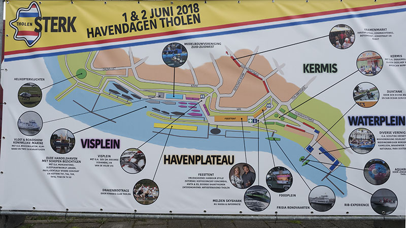
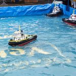
Tholen Harbour Festival
The township hold a harbour festival on the first Friday and Saturday of June.

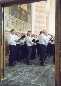
In our wanderings of the streets that were filled with stalls of all kinds, we heard the sounds of a male choir emanating from the church. On walking in, there they were, with a congregation that participated in singing a number of the songs. The acoustics were brilliant!
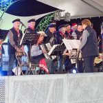
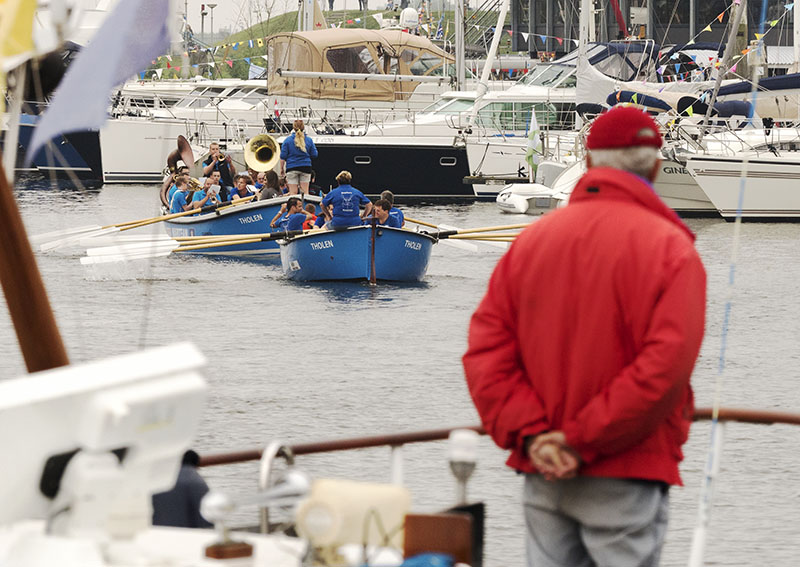
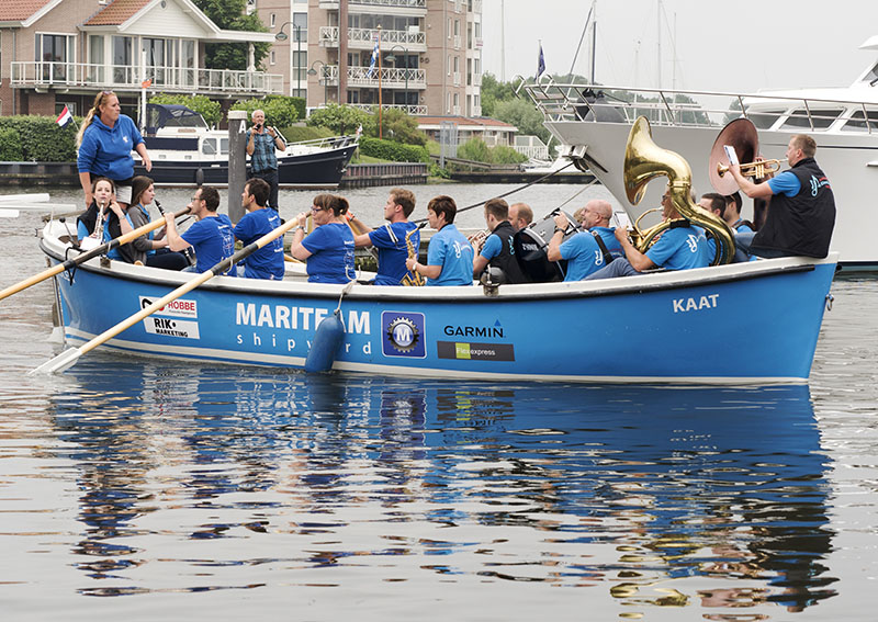
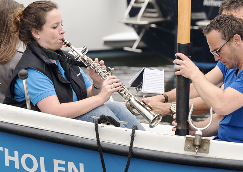
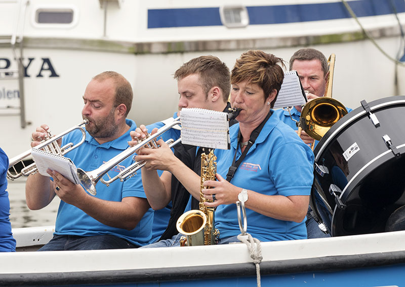
Late afternoon and the sound of a band was rather close. Looking out the window, this is what we saw. Let’s just say, I grabbed the camera and ran: not once, but twice!
Sunday 3rd June, 2018
Oud – Vossemeer, Sint Annaland, Stavernisse
With the rainy days now past, whilst the majority of the population was in church – a local had informed us the people of Tholen still have a strong tie to their religious roots – Bob and I headed out on the bikes once more, this time to take in the sights of the northern coastline.
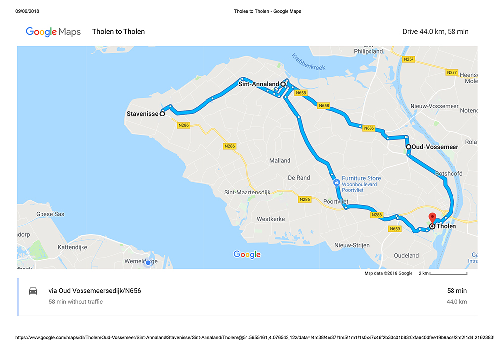
Oud – Vossemeer
Once forming part of the manor lands that surrounded the church in its early years, a township was eventually created.
Today, the village’s claim to fame is that of being the birthplace of Theodore Roosevelt’s Dutch family. There was even a house with a plaque denoting it was that of the early Roosevelts.
In the distance is the town hall which now houses the Roosevelt Museum.
What Bob and I loved was this beautiful piece of work.
Sint Annaland
Shortened to ‘Stalland’ by the locals, our first sight on entering this exquisite village was that of the new marina complex. The year 1475, found Anna van Bourgondie setting people to work to create a new polder in the midst of the marshes, mudflats and creek that formed the landscape at the time. It was also she who named this circular township and its original church after Saint Anna. The wooden roof was what set this particular church apart.
Stavenisse
Stated to be an island in an early document, today, the township is a coastal village. Lunching on a bench seat in the warming sun at the small harbour, Bob and I took the long main street that led from harbour to town centre.
On reading about, and seeing a photo of, the old moated castle remains (a large country house, really) of ‘Slot tot Stavenisse’. The grounds which the townsfolk eventually converted into flower and vegetable gardens appeared quite attractive in the image, and had Bob and I interested in checking it out.
Round and round the town we circled, finding no signposts indicating its position. Back at the marina entrance, we came upon a sign hidden behind another that contained information about the Oosterschelde national park. A small street map had an old drawing of the construction and an arrow indicated the position. (To help give an idea of its position, the harbour was directly behind it.)
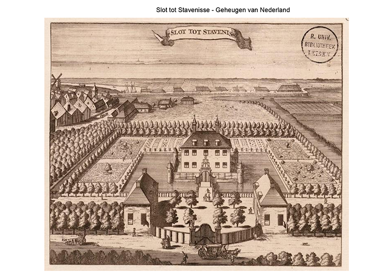
Now we had an idea. Returning to the spot, there was still nothing to identify a garden and moat. All we had was an old cemetery walled in by hedging and housing plots. The shape, size and position seemed right. Out of the cemetery cycled we two, and back to a bicycle track we had traversed not long before.
Approaching from the opposite direction provided a new viewpoint, and we saw what had been missed before. Like in the image, a canal ran along our right and the shape of the boundary hedge all matched could have been the edge of the old walls with their turrets.
In addition, on alighting the bikes and taking a short walk along a narrow path leading between the reeds on the right and undergrowth on the left, an almost hidden bust – complete with coat of arms and crown – came to light. This appeared to be the only mark left to indicate a large country estate had once stood here. It really was quite disappointing that such a picturesque spot had been allowed to deteriorate to what it had now become.
Interesting Facts
- The Madder plant – or Turks Rood – was once grown in the sandy soils around Sint Annaslandand. When harvested, the roots are soaked then blended to make the dye.
In my walks around the township of Tholen, I have really come to love this small village. One of my most notable memories is that of watching the children out playing as we older folk did when their age. No helicopter parents as they played in the undergrowth, out in the dirt piles, fished the encircling waters and so forth.
Additional Information
Stavenisse ‘castle’
Hieronymus van Tuyll of Serooskerken
Madder Dye
Pigments through the Ages – History – Madder lake
Madder Dye _ Wild Colours natural dyes
Madder Dye Plant Cultivation _ Wild Colours natural dyes
Preparing the Madder Roots _ Wild Colours natural dyes
Tholen Windmill
Yerseke Musselmen
War Over Tholen
http://www.waroverholland.nl/index.php?page=tholen-2
Tholen [War over Holland – May 1940_ the Dutch struggle]